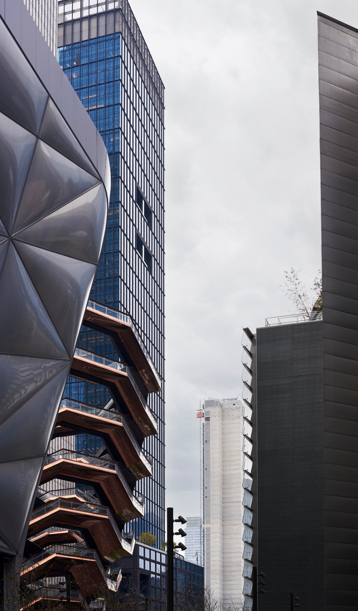
Architecture is rarely encountered as a complete and isolated object. In a city it arrives in fragments: a facade seen across traffic, a tower held between older buildings, a skyline beyond water or a structure glimpsed while moving through the street. The way a building is understood depends as much upon these approaches as upon the building itself.
New York makes this especially clear. Its architecture is continuously measured against the width of an avenue, the depth of a block, the edge of a park and the vertical accumulation of the city. Distance, movement and obstruction are not problems to overcome. They are the conditions through which the architecture becomes legible.
To photograph the city at the pace of the street is therefore to accept that no single viewpoint is definitive. The visual account develops by moving between scales: from the metropolitan outline to the inhabited pavement, from landscape to infrastructure, and from the singular building to the layered field around it.
The street as a measure
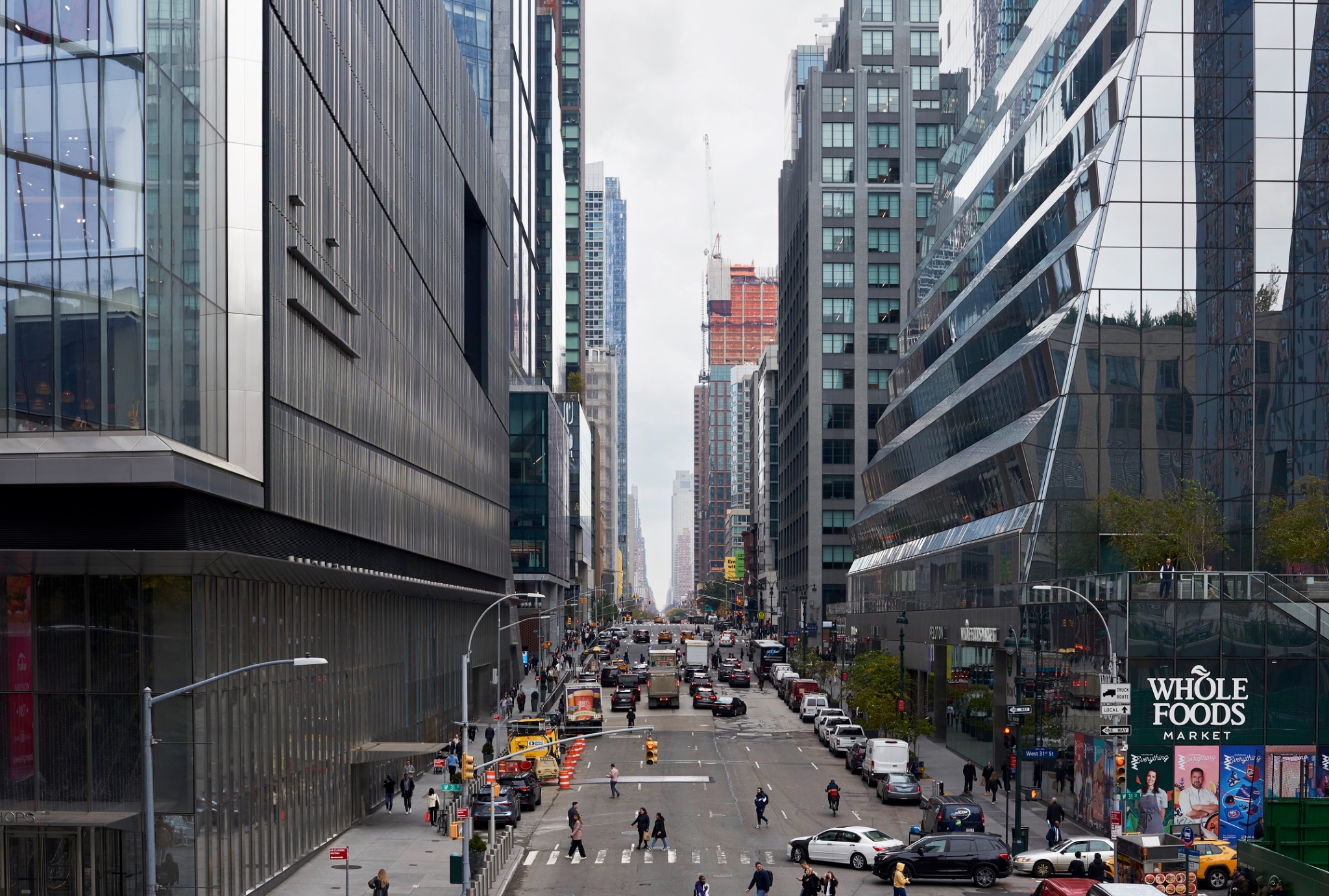
At street level, scale is established through ordinary comparison. Pedestrians, vehicles, trees, shopfronts and neighbouring elevations provide an immediate measure for buildings that might otherwise be read only as abstract form.
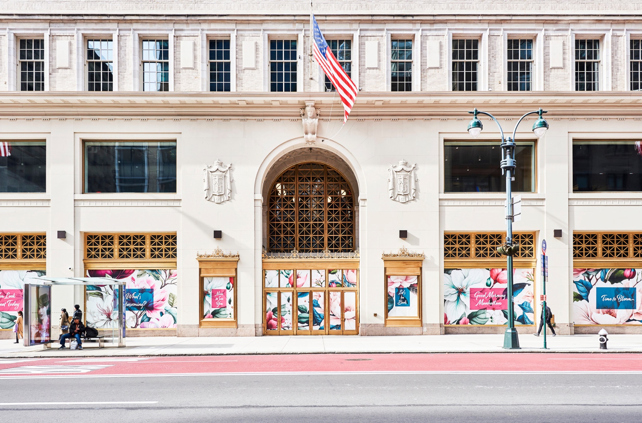
A direct elevation can describe symmetry, proportion and surface with precision, yet the life of the street remains present. Temporary graphics, passing figures and the gap of the carriageway prevent the building from becoming a purely formal study. These details locate architecture in time without overwhelming its longer civic presence.
Distance and the metropolitan outline
Moving away from the street changes the subject. Across water, individual elevations give way to an urban outline in which towers are understood through their collective relationship with the horizon.
The distant skyline makes the density of Lower Manhattan visible, but it also shows how little of a city can be understood from its iconic profile alone. Foreground land, water and open sky establish geography and scale. They turn a familiar group of buildings back into a physical place.
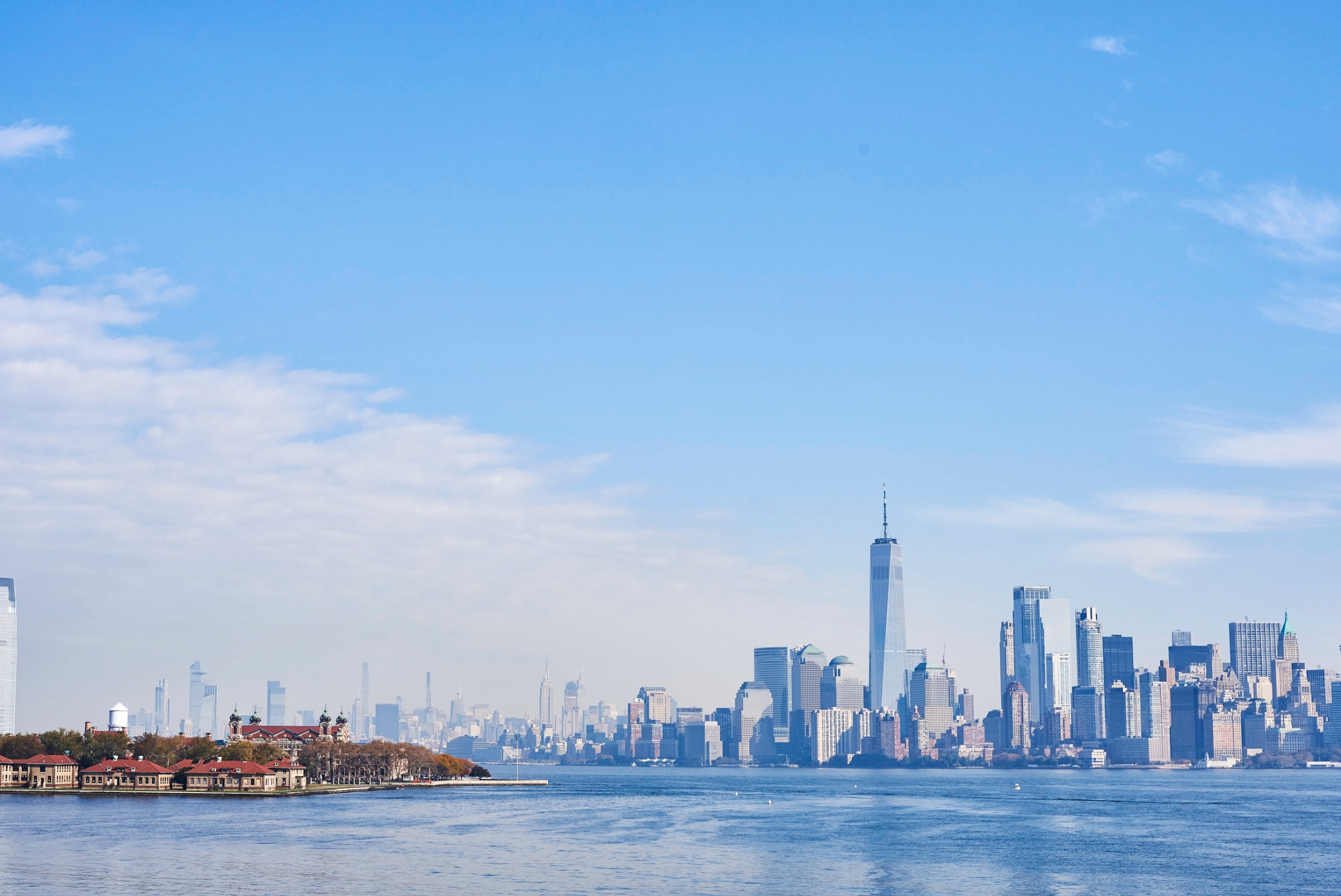
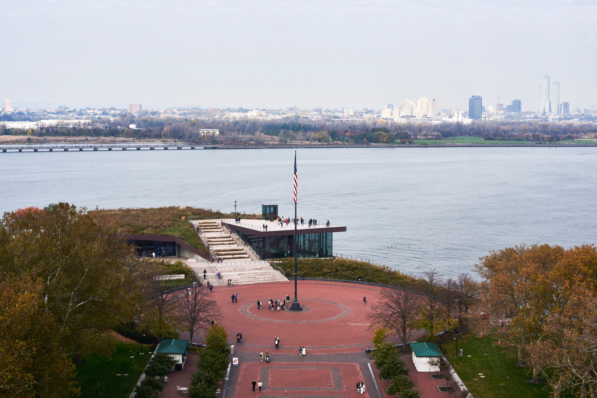
The foreground matters because it describes the position from which the city is being seen. Paths, trees and a flagpole give the view a human register. The skyline is still prominent, but it belongs to a larger landscape and to the experience of approaching, pausing and looking.
Landscape within the city
Urban context is not limited to streets and neighbouring buildings. In Central Park, architecture is encountered through rock, planting, water and season. Towers appear intermittently beyond the tree line, their scale altered by distance and by the apparent naturalness of the foreground.
These views reverse the usual hierarchy. The city becomes an edge condition to the landscape rather than the landscape serving as a setting for a building. A glimpse of towers through trees can explain the closeness of the two systems more persuasively than a wider skyline photograph.
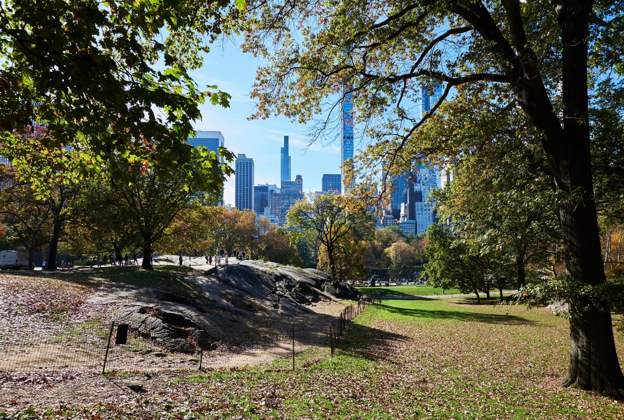
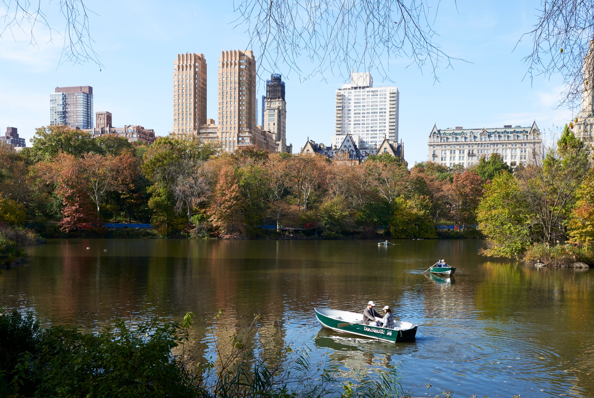
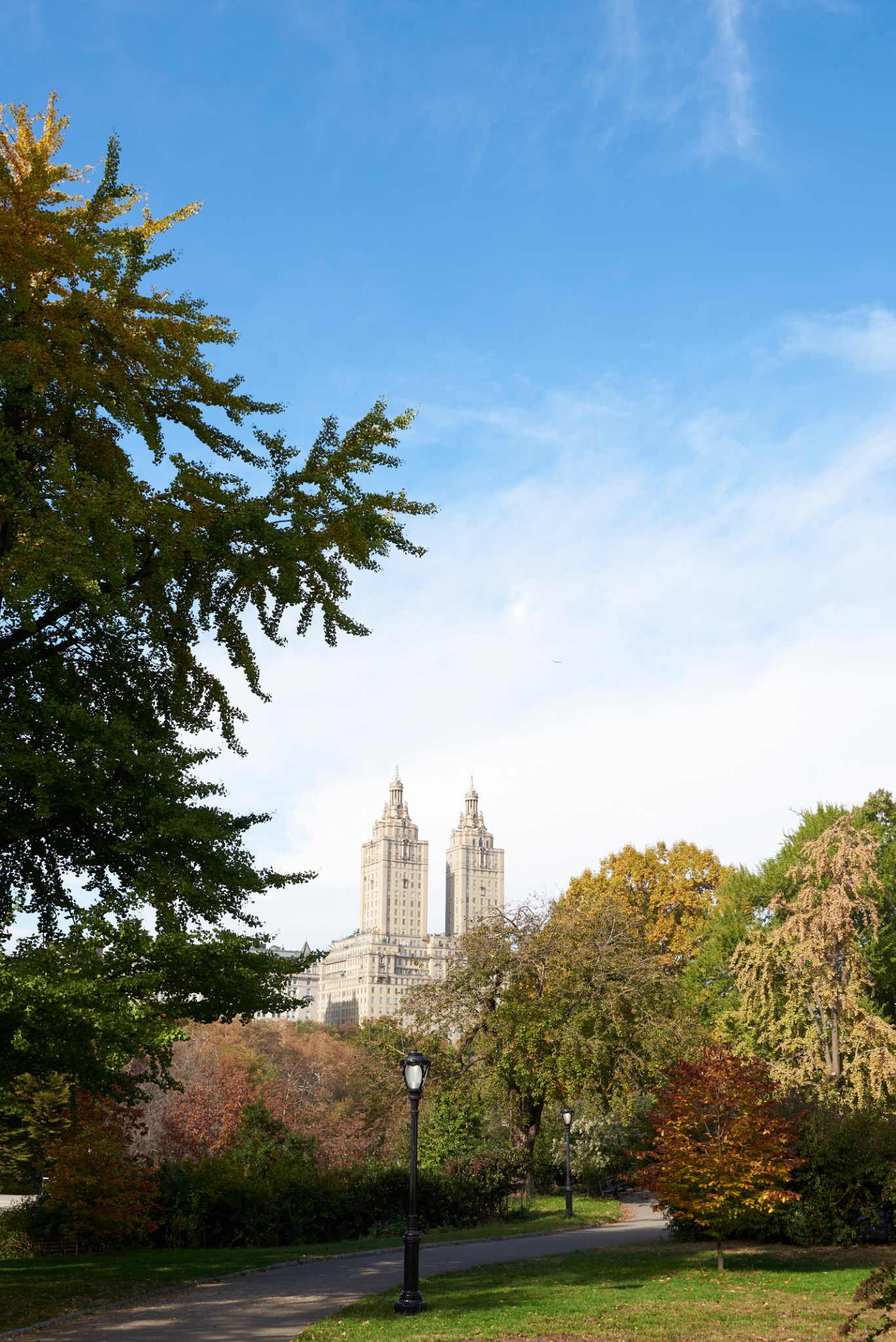
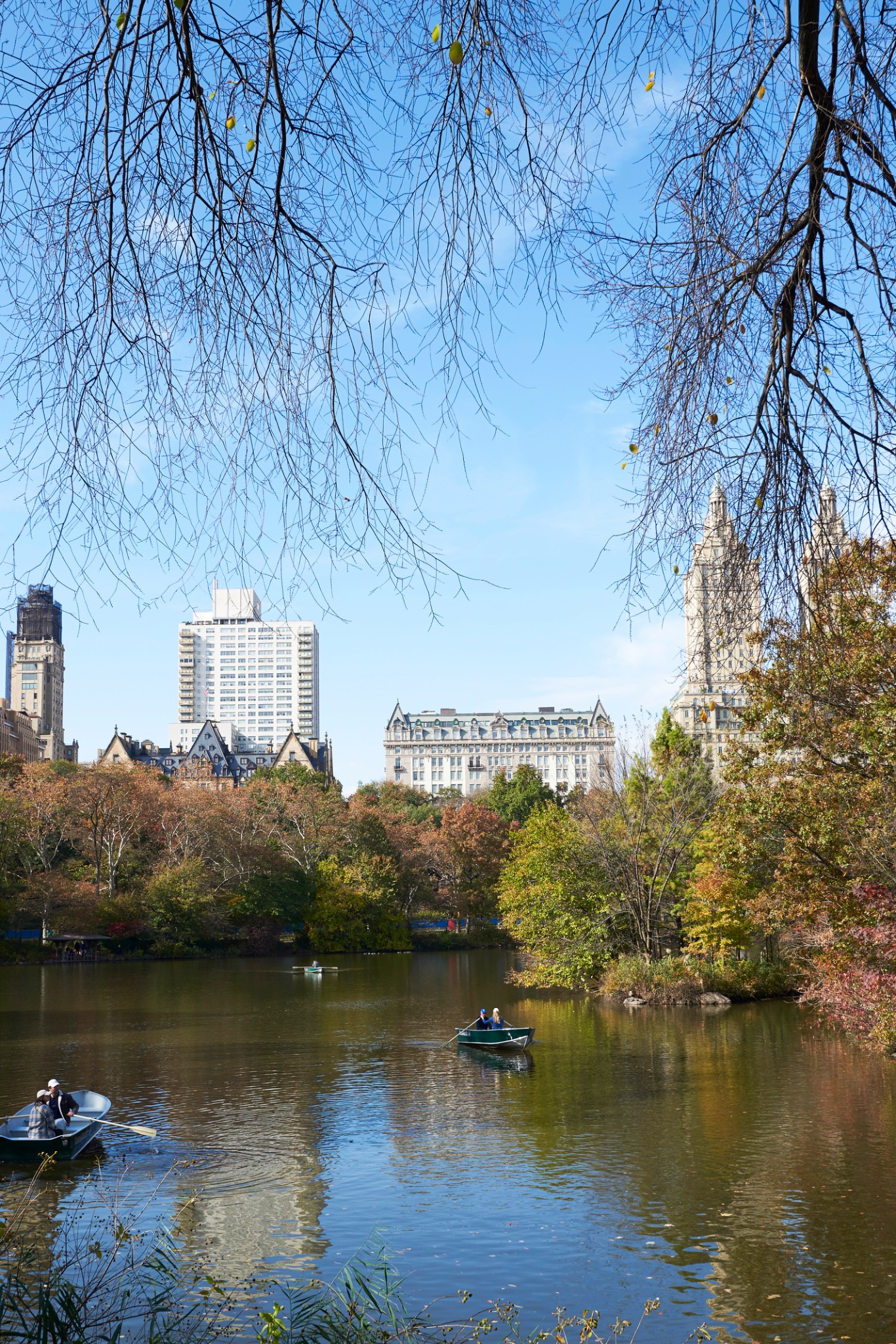
The camera can use partial views without making the architecture secondary. Branches, paths and changes in level reproduce the way the city is encountered on foot: not as a sequence of complete facades, but through moments of disclosure and concealment.
Infrastructure as public architecture
The High Line makes movement itself an architectural condition. Its reused structure creates a route above the street, offering views that are neither conventionally elevated nor fully at ground level. From it, buildings are seen alongside bridges, retained industrial elements, service streets and new landscape.
Here, context is particularly compressed. Older brickwork, exposed structure and contemporary glass towers overlap within a short distance. A chimney can become the central vertical element of a view, set against facades of an entirely different scale and period. The city’s history is not arranged chronologically; it is experienced through proximity.
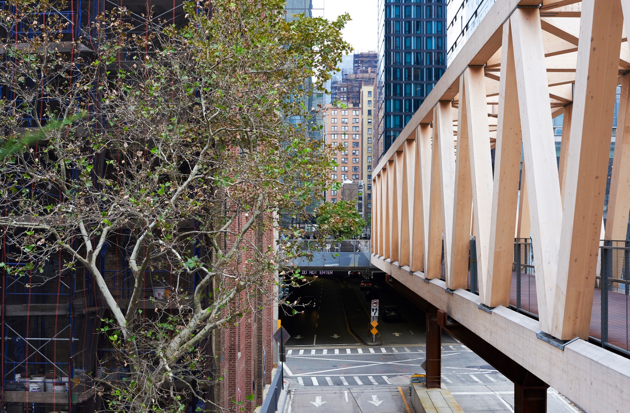
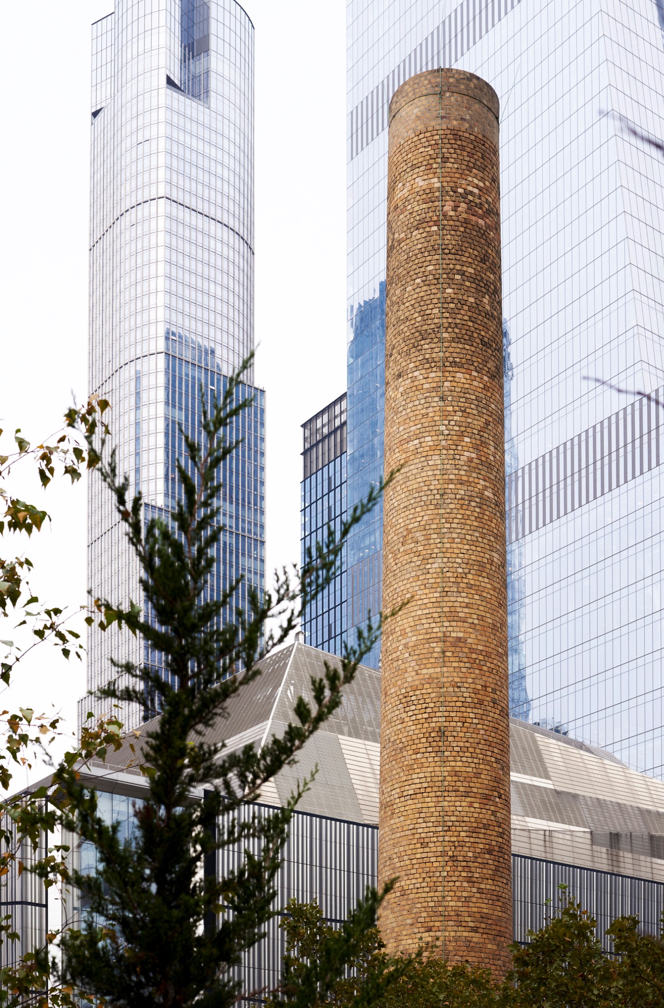
The usefulness of these relationships lies in their lack of tidiness. They show architecture as part of an accumulated city in which old infrastructure is adapted, new development is inserted and public movement is redirected through both.
Architecture encountered in movement
Around Hudson Yards, large new buildings are difficult to comprehend from a single position. Their surfaces and volumes change quickly as the route bends, rises and passes beneath them. Close viewpoints emphasise cladding, structure and overhang; wider views reconnect those elements to entrances, planting and public space.
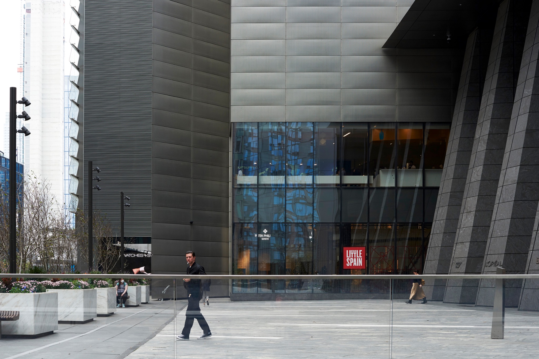
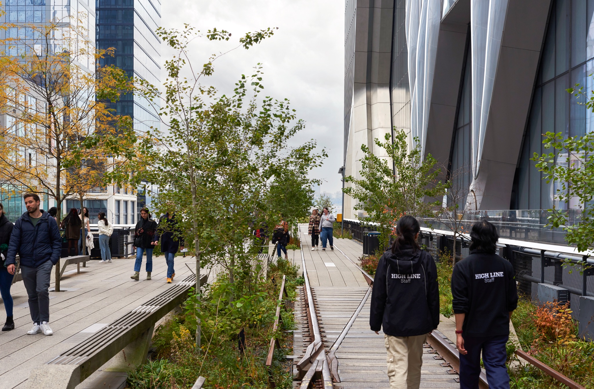
People are important to this account, but not simply as figures added for scale. Their movement demonstrates how routes work, where the public realm narrows or opens, and how quickly a facade is likely to be read. The photograph can pause that experience while retaining evidence of its duration.
Reading architecture through urban context is not a matter of making the building less important. It is a way of understanding more of what the building does. The street reveals its public edge; landscape alters its apparent scale; infrastructure connects it to earlier patterns of movement; and neighbouring structures place it within the continuing construction of the city.
A coherent photographic sequence can hold these different distances together. Rather than searching for one conclusive view, it follows the city from outline to pavement and back again. Architecture becomes legible at the pace at which it is actually encountered: gradually, partially and in relation to everything around it.